
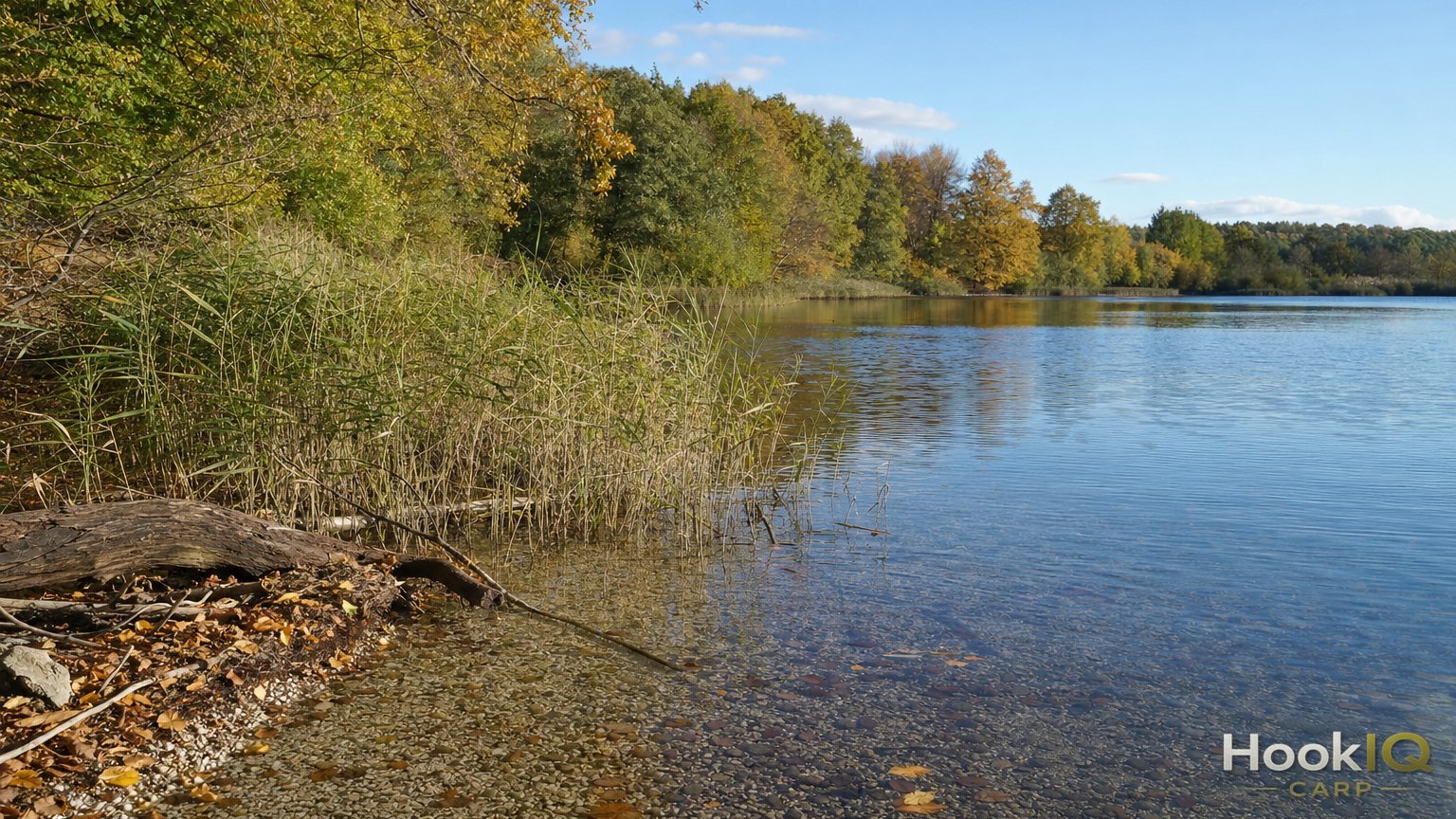
You're standing at a lake you've never fished before. 40 hectares of water, no boats allowed, no depth chart online, and the only information you've got is what you can see with your own eyes. Which is to say, nothing. This is exactly the moment that separates the angler who just casts out somewhere from the one who, within an hour, knows where the plateau sits, where the drop-off falls away, and where the mussel bed lies that every carp in the lake eventually swims past.
Over the years I've fished enough unfamiliar waters without a boat to know that a castable sonar can close that gap. It's nowhere near as capable as a boat-mounted sonar unit, but it's enough to turn complete blind casting into an informed strategy. In this article I'll show you how castable sonar actually works, where its honest limits are, and how to turn the data into real spots instead of just collecting colourful pictures on your phone.
What Castable Sonar Can (and Can't) Do
At its core, a castable sonar is a small sonar ball you cast out on your rod and pair with your phone via Bluetooth or Wi-Fi. You see live what's happening beneath the ball as you reel in. The principle is simple, and the execution has become genuinely sophisticated. Units like the Deeper CHIRP+ 3 run true three-frequency CHIRP technology, while the newer CHIRP+ 4 adds a Narrow mode with target separation of around 1 centimetre — tight enough to tell individual stones apart from a mussel bed.
What a lot of anglers underestimate: manufacturer range figures are lab numbers. The CHIRP+ 3 is marketed with up to 120 metres of Wi-Fi range, but in independent real-world tests the connection often only stays genuinely stable up to around 30 metres, depending on your phone, wind, and bankside vegetation. That's just physics, not a flaw in the unit. So you're not casting 100-metre marker buoys — you're scanning in manageable stretches of roughly 25 to 30 metres.
| Criterion | Castable Sonar | Boat Sonar (e.g. on bait boats) |
|---|---|---|
| Real-world range | ~25-30 m stable, up to 120 m per spec | 300+ m |
| Scan depth | up to 45-100 m depending on model | usually 50+ m, model-dependent |
| Flexibility | ready to use instantly, no boat needed | boat, transport, often permits needed |
| Price | approx. $165-465 | bait boat incl. sonar often $850-2,150 |
| Coverage | bank-accessible zones, piece by piece | whole lake in one pass |
The consequence for your approach: in one afternoon you won't cover the whole lake, but you will scan the reachable bank zones thoroughly and with several repeat passes. For most carp waters that's not even the real problem, because the bulk of productive spots on gravel pits and club lakes sit within the first 30 to 40 metres from the bank anyway, before things move into zones you're better off mapping with a marker rod and experience than with a live scan.
The Units at a Glance
Not every castable sonar does the same job. The main difference comes down to the GPS module and the mapping function.
Setup Box: Castable Sonar Compared
- Deeper CHIRP+ 3: 94 g, three-frequency CHIRP (675 kHz/7°, 240 kHz/20°, 100 kHz/47°), up to 15 hours battery life, $430 MSRP, street price from around $345. A solid all-rounder for mapping and live scanning.
- Deeper CHIRP+ 4: a step up from the CHIRP+ 3 at $465, adds real-time AI fish detection, USB-C fast charging (80% in 60 minutes), and four times the pixel density in shallow water down to 5 metres. The fish detection is a nice extra, but you'll still need your own feel for structure and bottom composition.
- Garmin Striker Cast: the budget option at $150-200, 260/455 kHz frequencies, wireless range up to about 61 metres, up to 10 hours battery. Less resolution, but a fair way in.
- Deeper MAX: the high-end model, GPS range up to 122 metres and real-time 3D mapping, for anyone who regularly scouts new waters and has the budget for it.
What actually matters for building depth maps from the bank is the so-called onshore GPS mode. Only units with their own GPS module can run it — that means Deeper's PRO+ and MAX lines. On base models without onboard GPS, your phone handles positioning, which works fine standing on the bank but gets less accurate the more you move around while scanning. If you're planning to build venue maps from the shore on a regular basis, the buying decision really comes down to this GPS module — everything else is secondary.
Building a Depth Map From the Bank
The real work starts after you've unboxed the unit, in how systematically you go about it. A single cast gives you one line through the water, not a map. Only a lot of casts together build the picture.
Here's how I approach it on an unfamiliar lake:
- Fan pattern, not random casts. I cast the ball out in a 20 to 30 degree fan, each cast offset by 5 to 8 metres from the last. After 10 to 15 casts that builds a connected strip of data instead of isolated readings.
- Retrieve slowly. At 0.3 to 0.5 metres per second the app gets enough data points to draw a clean line. Reeling in fast leaves gaps in the map that you'll misread later.
- Run multiple passes over the same zone. Especially around transitions from sand to silt, or at a suspected drop-off, it's worth a second and third cast over the same spot. A signal that shows up repeatedly is far more meaningful than a single hit, which could just as easily be a glitch.
- Mark anything notable right away. The app lets you drop waypoints mid-scan. Mark every drop-off, every hard bottom patch, and every notable rise immediately — trying to find exactly where that was afterwards on a small phone screen is more annoying than you'd think.
- Export and back up your maps. The depth maps you build can be exported from the app. I save every session, even when the first impression looked unspectacular. It's often only after three or four sessions on the same lake that the full picture comes together.
One afternoon rarely covers the whole lake. With good organisation you can realistically map 150 to 250 metres of bank thoroughly per session, including the zone you can reach from the shore. That's simply the scale bank-based mapping works at, and that's completely fine. Anyone who accepts that builds up, over two or three visits, a map that can easily compete with a single day on a boat.
Reading Plateaus, Drop-Offs and Mussel Beds Correctly
The biggest misunderstanding with castable sonar is expecting the screen to hand you ready-made answers. It gives you raw data. Interpreting it is what separates the angler with a map from the angler with fish on the bank.
Plateaus show up as areas where the depth line stays nearly constant over a longer stretch before dropping off again. On many gravel pits these shallow flats sit at 1.5 to 3 metres, surrounded by noticeably deeper water. That contrast is exactly what turns a plateau into a feeding area, because carp moving between resting zones and feeding zones pass through almost inevitably.
Drop-offs show up on the sonar image as an elongated shadow area or a zone with noticeably intense backscatter — don't expect a sharp line like on a printed chart. A depth change of 1 to 2 metres over just a few metres of distance is a classic drop-off and ranks among the most reliable spots there are, regardless of venue type.
Mussel beds produce extremely hard, sharply defined echoes that stand out clearly from soft bottom. If you're not sure whether a notable patch is really a mussel bed, the classic test with a heavy lead on a spod rod helps: if it clatters and rattles as you drag it back, that confirms what the sonar showed.
Thermoclines are the trap every beginner falls into at some point. A thermocline creates a dense, cloud-like signal in the water because plankton and suspended particles collect there. At first glance it looks like structure, but it's actually just a water layer with nothing to do with the bottom. You can tell the difference because thermoclines stretch horizontally across large areas and aren't tied to a fixed depth line, while real bottom structure doesn't shift position on repeat casts.
| Structure Type | Sonar Image | Typical Depth | Practical Relevance |
|---|---|---|---|
| Plateau | constant line over 15-40 m | 1.5-3 m | feeding area, often the first spot to try |
| Drop-off | shadow area, 1-2 m depth change | variable | reliable holding spot, often year-round |
| Mussel bed | hard, sharp echoes | 1-4 m | food source, adjust hookbait presentation |
| Thermocline | dense, horizontal signal | depends on water layer | not bottom structure, don't confuse it |
From the Map to a Fishing Strategy
A depth map without a plan is just a nice picture. The real value comes when you translate the data into a sequence of decisions.
After scanning I always work through three steps. First I mark every drop-off and plateau I've picked up on the live scan, usually within the first 30 metres of the bank. Then I rule out every area on the sonar image that's completely flat and featureless, because the odds of a productive feeding spot there are low. Only in the last step do I choose between the remaining two or three zones based on wind, sun exposure, and inflow.
That process of elimination is the real value of castable sonar from the bank. Not chasing colourful fish icons on the display, but quickly ruling out the areas that aren't worth your time. On a 20-hectare lake, that narrows the search within an hour from endless possibilities down to two or three realistic spots.
A few numbers from practice that have become routine for me by now:
- At least 3 scan passes per potential zone before I consider a spot confirmed.
- A minimum drop-off height of 80 centimetres before I even rate the spot as relevant.
- Maximum 90 minutes of scanning per session — after that your focus when reading the images drops off noticeably.
- A second visit within 2 weeks at the latest to verify the first map before investing larger amounts of bait.
- Keep at least 20% battery in reserve before starting a session — a dead castable sonar in the middle of your best spot is annoying, and with the CHIRP+ 4's USB-C fast charging, it's now easy to avoid.
Autumn, by the way, is a good time for this kind of groundwork. The water is usually clearer than in summer, weed beds die back, and that opens up sightlines to real bottom structure that was still hidden under dense growth back in July. Build a map now, and you head into next season with a real head start.
Conclusion
A castable sonar doesn't turn you into a boat angler, and it doesn't need to. In manageable stages it gives you a solid picture of where the plateaus are, where the drop-offs fall away, and where the mussel beds sit — even on waters where a boat is banned or simply isn't an option. The technology is no substitute for time on the water, but it shortens the path there considerably. Next time you're at an unfamiliar lake, take an hour, cast systematically in a fan pattern, mark anything notable straight away, and hold off judging a spot until a third cast confirms it. The carp hold where the bottom tells a story, and with the right gear, you can read that story from the bank.